

Airport:
Asheville airport is 30 to 40 minutes from Waynesville and Maggie Valley.
Asheville Regional Airport
Golf – Beautiful Mountain Courses:
Medical:
News:
County and Towns:
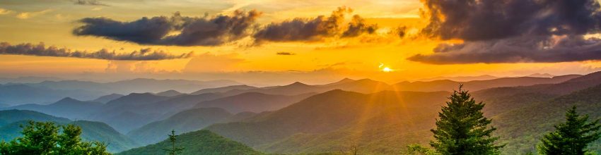
According to the U.S. Census Bureau, Haywood County has a total area of 555 square miles. There are 13 mountains over 6,000 feet east of the Rocky Mountains. Notable peaks in the county include Cold Mountain, at 6,030 feet, Mt. Sterling, at 5,835 feet, and Richland Balsam, at 6,410 feet in elevation. Haywood County is believed to be the highest county by mean elevation east of the Rocky Mountains with a mean elevation of 3600 feet (1095m). It is the only county in North Carolina that all water flows out while none flows in. The county contains three modest size mountain lakes, numerous creeks, streams and the Pigeon River, all originating from its own watershed that finds its headwaters in the high mountains surrounding Haywood County.